Is there a secret to creating a thriving metropolis or a mind-blowing architectural project? The solution lies in comprehensive urban analysis followed by professional architectural planning and design.
Using accurate population and growth projections, urban planners can design cities with appropriate parks and transportation systems to meet the needs of today and tomorrow. In this sense, an urban analysis is indeed a crucial component of any city building.
In this article, we’ll examine urban analysis in greater detail to provide answers to the queries, What is it? “Why do we need it? And What are the key ideas?
What is Urban Analysis?
Urban analysis is one of the cornerstones of urban planning because of its emphasis on the systematic and differentiated management of the social, demographical, and economic factors that give rise to and define urban environments. As the names indicate, it seeks to identify the most challenging dilemmas impacting cities worldwide today, such as improper waste management, inaccessible healthcare services, and violent crime in urban areas.
So, why is it important? Everyone is aware of the worldwide effort to improve sustainability, which aims to end poverty, reduce inequality, and broaden participation in economic progress. The UN, for instance, plans to make it a priority to guarantee that everyone can afford a decent place to live by the year 2030.
The World Bank has a similar mission to the United Nations, which seeks to reinforce international efforts to preserve the planet’s natural features. A powerful tool that can assist in accomplishing these aims is urban analysis.
The urban analysis also facilitates data collection on urban development, comparing urbanization patterns across nations, and the geographical focus of the defenseless for the poor, all of which contribute to a better understanding of urbanization and its significance.
Urban Analysis’s Main Concepts
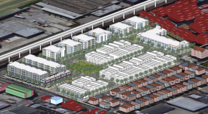
It is clear that a great deal of conceptualization and planning is involved in urban analysis. You can attain all of the above with careful observation, cooperation with relevant parties, and the use of appropriate software like Sketchup and CityCAD. It concerns and impacts a broader range of people simultaneously and in ordinary events. Let’s go deeper into the fundamental concepts listed below as we embark on the urban site analysis.
Also Read: Urban Planning Software: 10 Best Urban Mapping Tools to Elevate Your Design’s Concept
1) The Origins of The Location
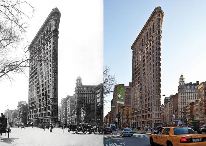
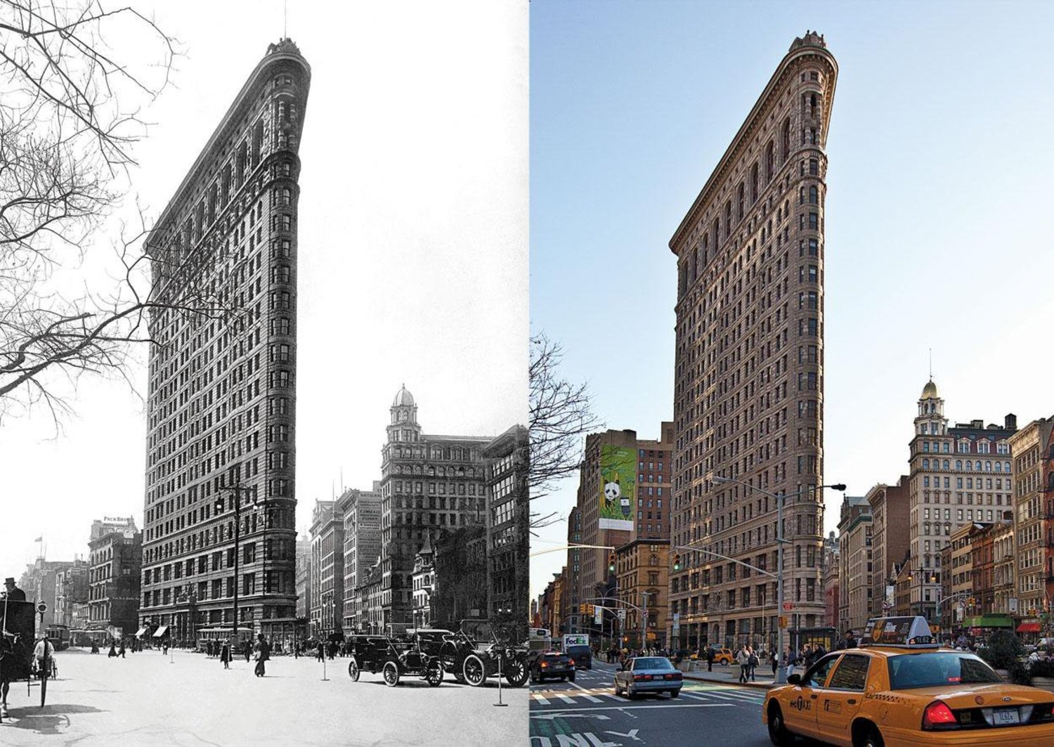
As part of an urban site analysis, it’s crucial to learn about the area’s past, including its inhabitants’ ways of life, transportation choices, average time spent outdoors, demographic changes, architectural developments, and more.
Having something tangible to ground the design in can be pretty helpful. Additionally, it provides valuable information on previous actions, allowing you to assess which approaches best meet the population’s needs.
2) Geographical Position and its Implications
A city’s location is critical in determining how to best direct initiatives. It provides a more precise picture of environmental elements such as rainfall, wind direction& speed, moisture, topography, and landscape. It helps figure out how your site and interventions fit into their context.
3) Economic Activity in the City
In this case, your mission is to learn about typical urban activities. Consider asking questions like, is the primary source of income the sale of fruit and vegetables, the provision of real estate-related operations, the operation of upscale hotels, or manufacturing? You can use this information to plan efficient water systems, green spaces, and transportation routes.
4) Layout and Construction Diagram
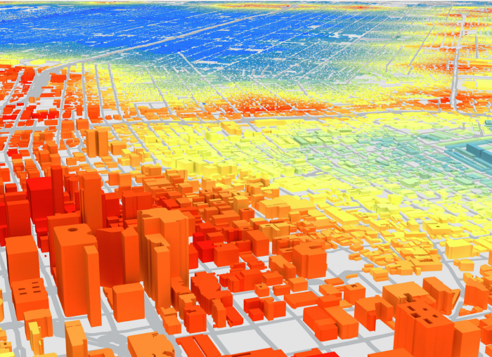
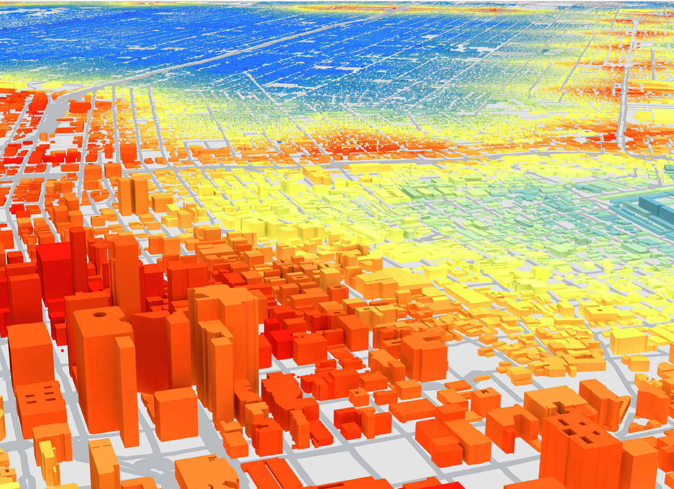
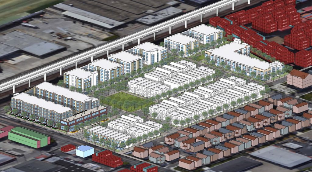
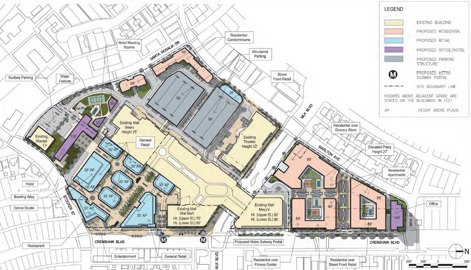
A ground plan helps visualize the volumes since it emphasizes the developed bulk while leaving the non-built areas white. It’s your go-to tool to analyze the constructed environment, greenery, road network, and space utilization.
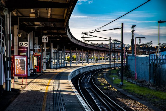
5) Transportation Accessibility
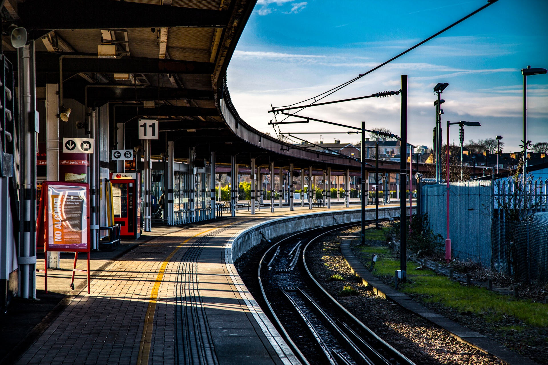
Understanding your urban site’s reachability of the city, town, and surrounding areas is crucial for your urban analysis. Before beginning any intervention, it is preferable to ensure convenient access to the neighborhood or your location via bus, rail, or any other mode of transportation.
Everyone should be able to afford to use the transportation option. It would be best to consider transport links to and from the site. Furthermore, Investigate the current transportation methods used daily. Find out where the gap is, if any, then fill it.
6) The City’s Populace
The idea of the population is crucial while conducting an urban analysis. Remember that you can only determine the optimum answer by considering the issue from the past, present, and future. Assuming that City X, which in 2018 had a population of 400,000, will have 800,000 residents by 2023, it is essential to plan for that city’s anticipated population boom.
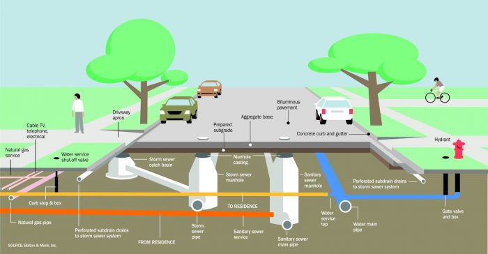
7) Underground/Grade-Level Utilities and Services
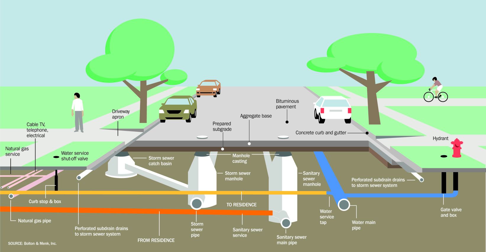
Recognizing levels will aid urban hygienic conditions, services, and utility solutions. These mistakes can severely impact utilities, so it’s a must to have a deep knowledge of sewage, water, and wastewater lines. At the proposal stage, knowing how services and utilities operate underground or at grade makes it more accessible.
Analytically identifying deep sewerage and water distribution systems allows for appropriate interventions. Knowing if the site’s wastewater is treated or released into a water body is also vital. Needless to say that it’s also essential to understand where the drinking water comes from, whether it’s local or people have to travel to get it.
At least a primary waste treatment should be provided on-site or nearby. Solid trash collection should also be researched, with the necessary arrangements for overcoming it.
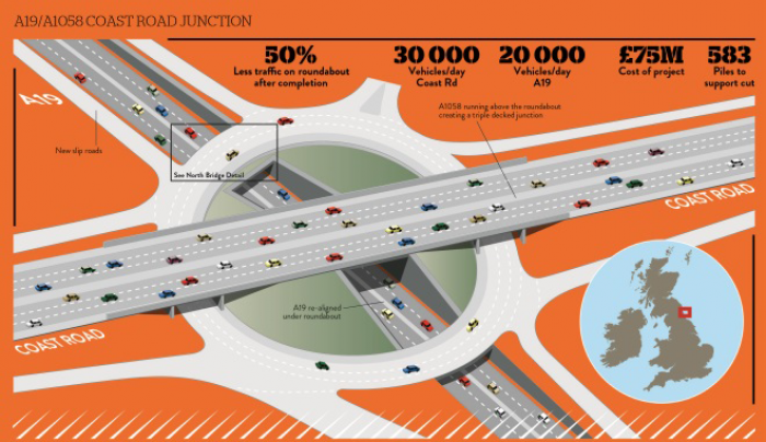
8) Aspects of Spatial Interaction
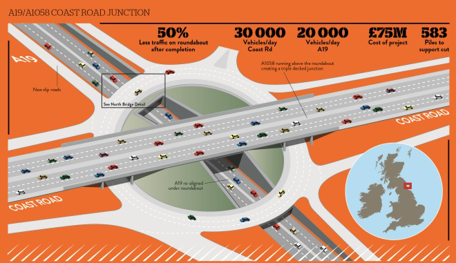
City interaction is another term that helps characterize the interplay between various elements in a city’s urban analysis. The purpose is to determine if a city’s current transportation infrastructure (roads, sidewalks, and connections) meets the minimum standards.
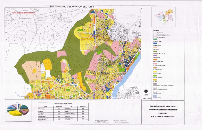
9) Existing Land Use
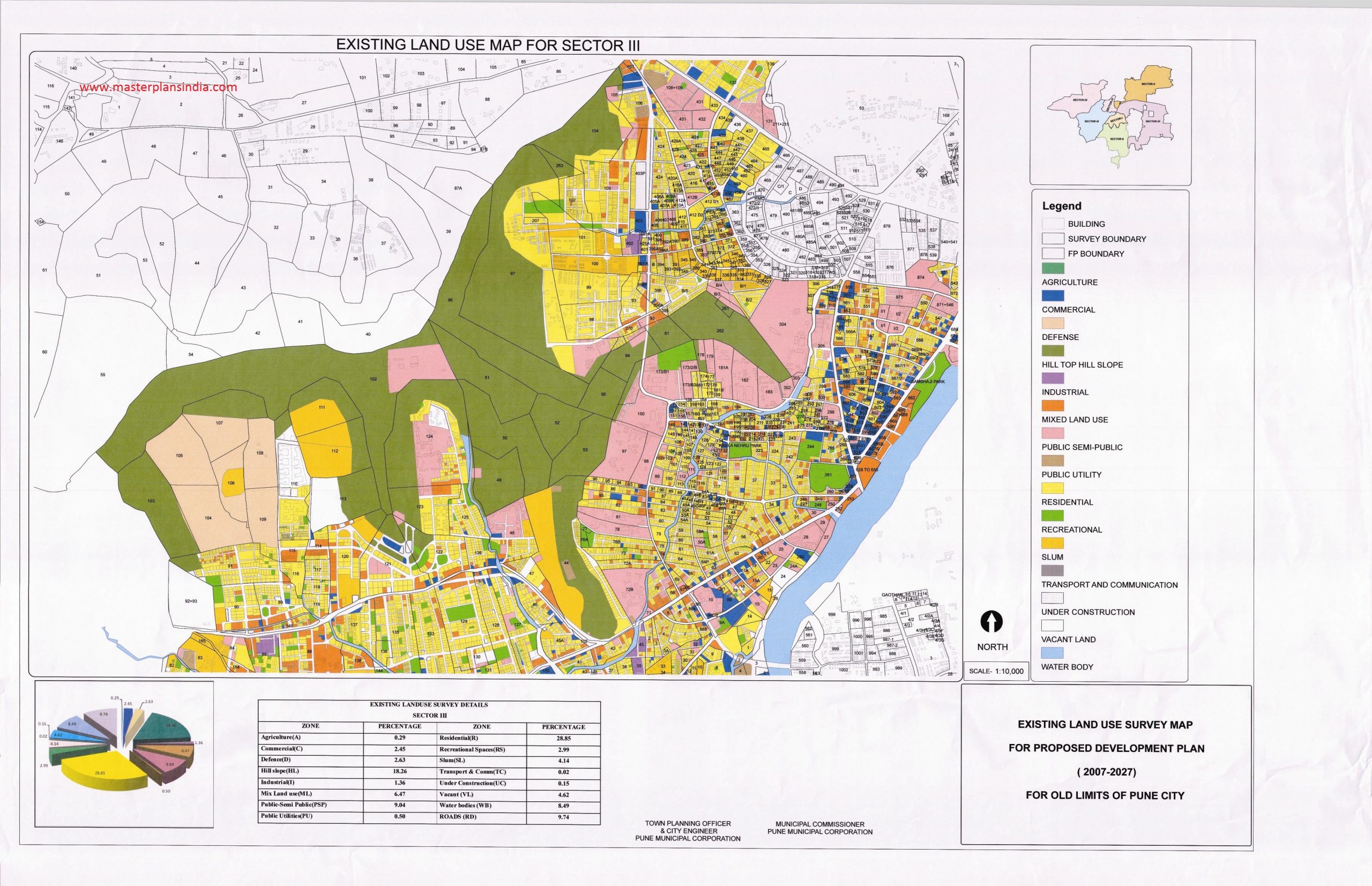
Examining a location’s current land or building use might shed light on the origins and sustainability of that use. How can one define what makes a neighborhood suitable for living in?
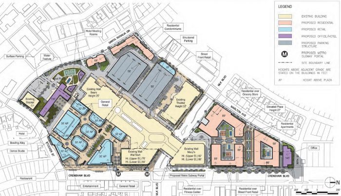
Understanding what has previously taken place on the site and what alternative uses might be more suitable is the goal of an existing land-use study. It indicates whether the planning commission has placed restrictions on the property or whether any particular uses must be handled there.
10) Greenery and Open Areas
Everything from a public water fountain to a playground to a garden to a newspaper booth to streetlights might serve as a makeshift open space in a community. Those have developed naturally via regular use by a large population. Public parks, playgrounds, gardens, arenas, and public plazas are examples of more planned open spaces.
By conducting an urban analysis, you immediately spot the habits, routines, and patterns of movement of the people who use these areas, which can help you later design an intervention that is more likely to be successful. It gives you an insight into where people go on the weekends and where full-time parents hang out with their children throughout the week.
Observing the plant life at different times of day will help you further determine which areas of the site are in the shade. As a result, you’ll have a better idea of what plants grow in the area and how you may put them to good use on the site.
If you’re an urban planner, you know by now how important it is to conduct a thorough urban analysis that includes everything that could improve your site’s liveability, aesthetics, and functionality. Always think several years ahead and remember to involve all relevant parties in your urban analysis.
©maps.cga.harvard.edu
©Madison Park
©viewing.nyc
©rare-gallery.com
©en.astelus.com
©keywordbaskets.com
©needpix.com
©educationquizzes.com
©Bolton & Menc, Inc.
©abg-geosynthetics.com
©masterplansindia.com
©Tomáš Hustoles
